Oceanic Adventures
As a seismologist who focuses on the continental lithosphere, I had the chance to escape my usual landlocked world and see the oceanic side of the field. I was a junior scientist for a research cruise to collect Ocean-Bottom Seismometers (OBS) from the seafloor as part of the OBS Research into Convecting Asthenosphere (ORCA) project in the Fall of 2020. We said goodbye to a world in the bleakest throes of the COVID-19 pandemic, and for seven weeks sailed to and from the far reaches of the Pacific Ocean.
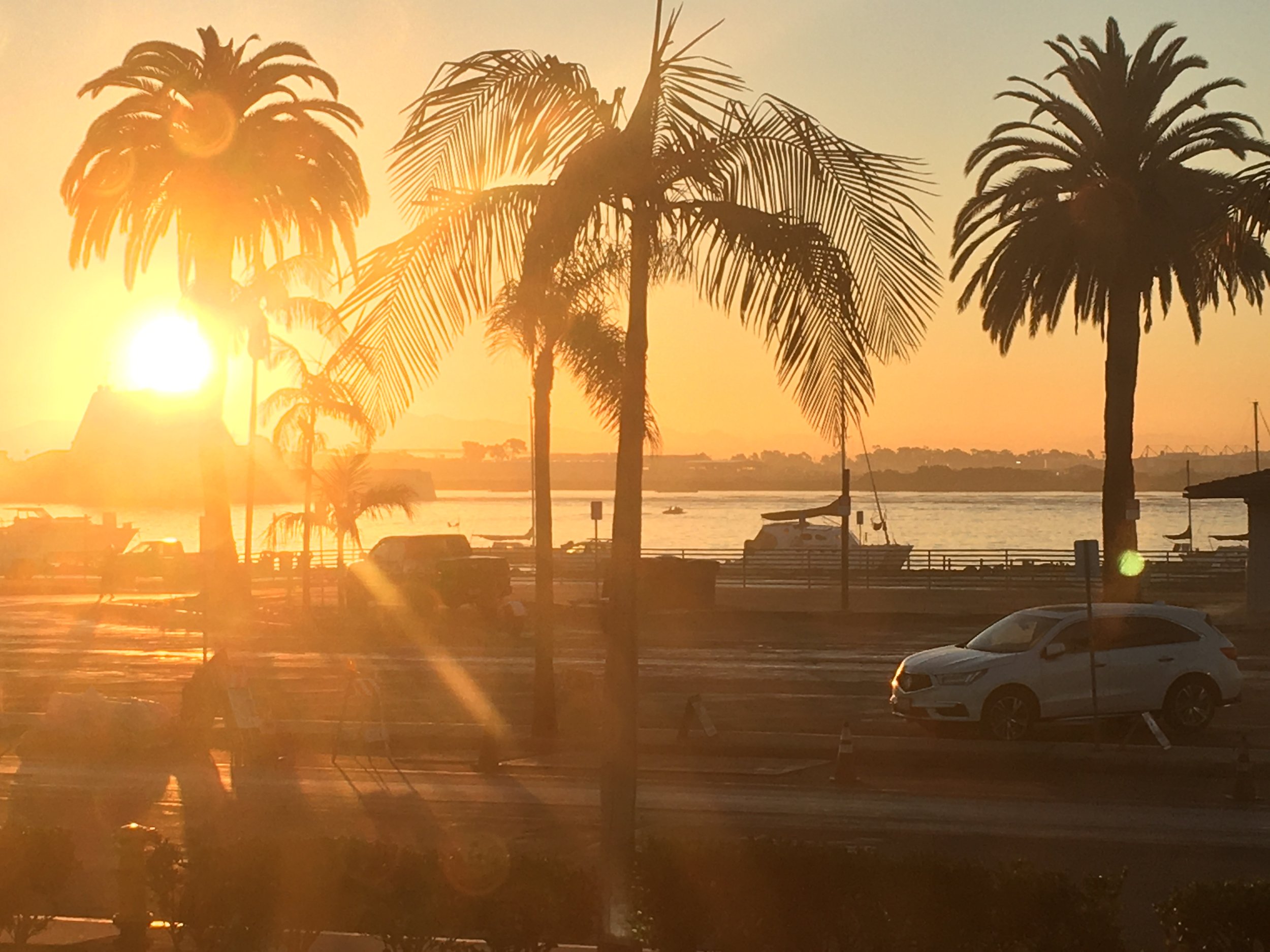
Sunrise from my hotel room during the pre-trip quarantine.
Due to said global pandemic, we were faced with a few logistical challenges. Among them was a mandatory two-week-long quarantine in San Diego before boarding. Each of us had to isolate in our rooms and get tested for COVID-19 several times during this period. On the plus side, I had my own balcony with a view of the water, and food delivered to my door. I became very invested in watching ships come in and out of the harbor.
Once aboard the R/V Roger Revelle, we had a long (more than two weeks) transit to the South Pacific Ocean. Our first stop was a patch of seafloor about 120 million years in age. This area is not near any land, oceanic plateaus, subduction zones, nor any tectonic feature of note; it is an important target for imaging precisely because it is an example of “typical” old oceanic lithosphere, which occupies so much of the Earth’s surface but is rarely studied with seismic instrumentation. A previous cruise had deposited 30 OBS instruments onto the surface a year prior, and our mission was to collect them from the depths, recover the data, and bundle them up tightly for their return home.

Here are a few pictures of OBS instruments returning. The yellow box is a flotation device to bring it up to the surface; the white part stores the battery and data logger; the green ball that’s dangling is the sensor which recorded seafloor ground motion from earthquakes. The red flag is a stylish little accessory to help us spot it from deck. Tagging (attaching a hook while the OBS is bobbing in the water) is definitely a skill. Even after 30 recoveries, it was still exciting to see another OBS coming aboard!

A birds-eye view of an OBS recovery operation is shown to the right. Not all recoveries were as scenic; the fearless science team and techs braved all sorts of weather and sea conditions at all times of day. In fact, we separated into shifts in order to work continuously. Thanks to the hard work of all involved, we were able to successfully recover all 30 instruments with time to spare.
The secondary science goal of the cruise was to dredge for rock samples at several seamounts near American Samoa. These samples will be used to understand the histories of the mantle plumes that generated these seamounts, which were once active volcanoes. We set out with hopes of completing three dredges; the science team ultimately was able to perform eleven dredging operations! It was a joy to be able to hold rocks that had sat on the ocean floor, and a satisfying way to wrap up our science mission.
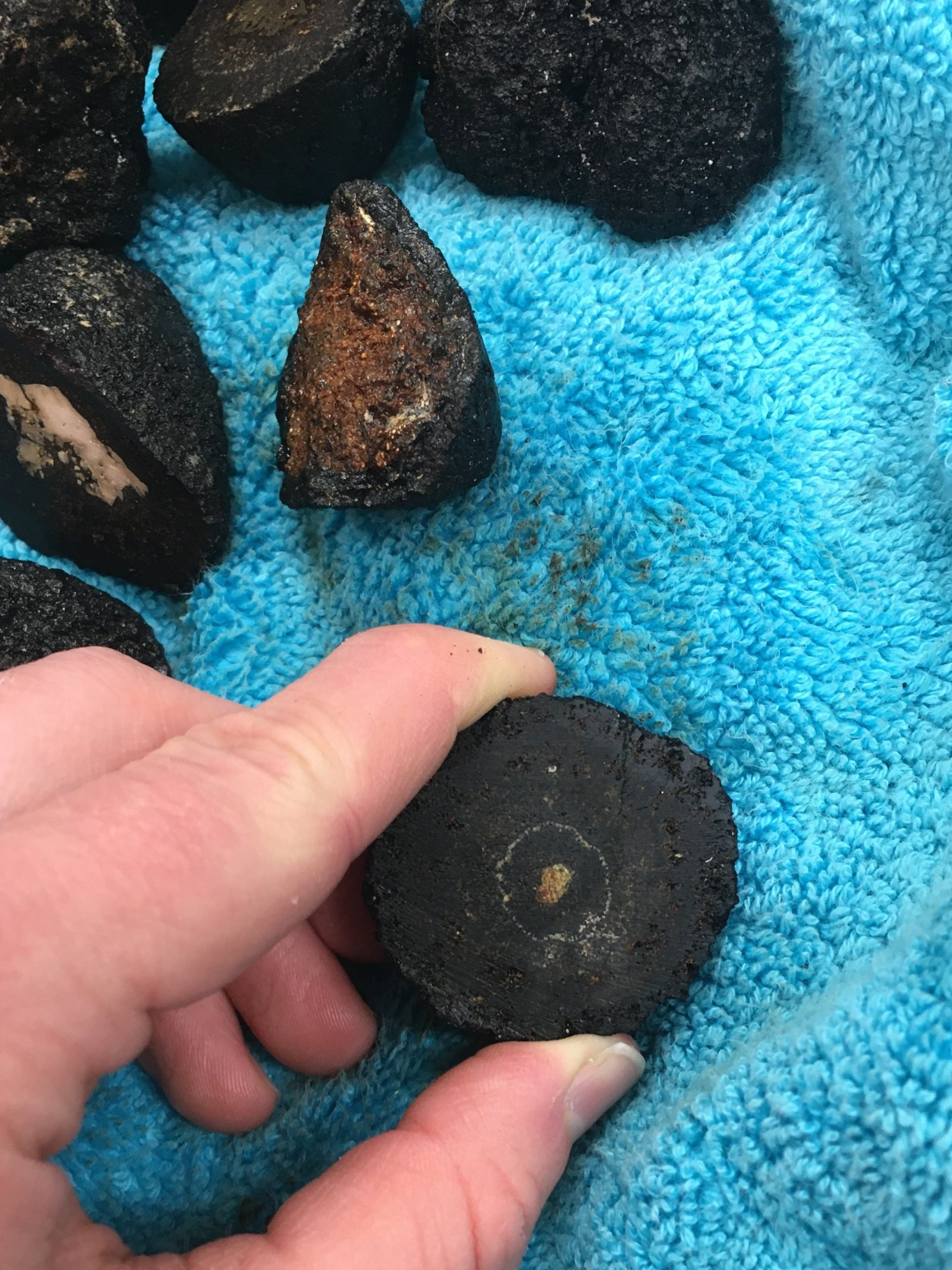
One of many rock samples from the ocean floor. The black material is mostly manganese from reaction with seawater; only the center contains unaltered rock.
A week-long transit took us back to the Northern Hemisphere, past the dolphin-teeming waters near Palmyra Atoll, and safely to port in Honolulu. The great adventure may have came to an end, but memories, friendships, and exciting novel data will stay with us for a lifetime. As someone who spends most of my time dedicated to the continents, this trip was a remarkable chance to broaden my horizons, scientifically and literally, and to learn from the marine geophysics community.
Interested in hearing more about the science operations, ship life, and the other legs of the Pacific ORCA experiment? Check out the blog kept by the science parties: https://pacificorca.wordpress.com/.

Sunrise from the RV Roger Revelle.